A small country at the centre of a very big moment.
Where the Caribbean meets South America.
Growing faster than almost anyone.
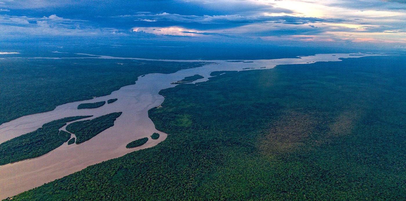
One coast, three great rivers and a road south.
New roads, bridges and ports.
Deep water changes everything.
Guyana is not a branch. It is the opportunity.
A hub for the Caribbean
A bridge to North America
Jobs and skills at home
The country we move cargo across.
Entering Guyana or the Caribbean? Start with us.
Guyana is growing faster than almost anywhere on earth. Everything it builds, buys and sells has to move.
Where we are
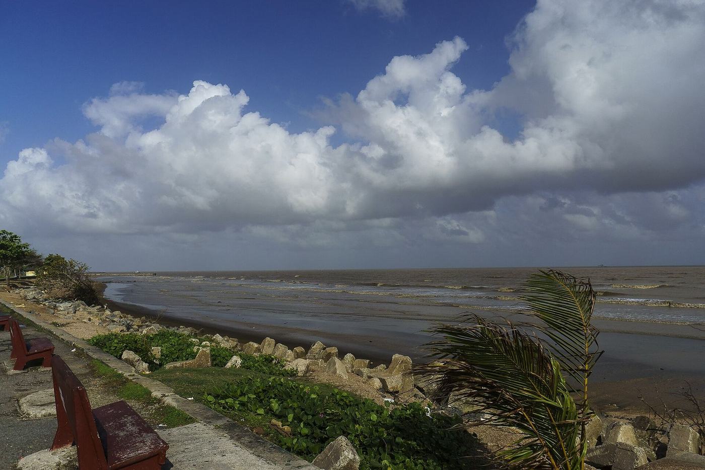
Guyana faces the Atlantic, borders Brazil, Suriname and Venezuela, and belongs to the Caribbean family.
The only English-speaking country in South America.
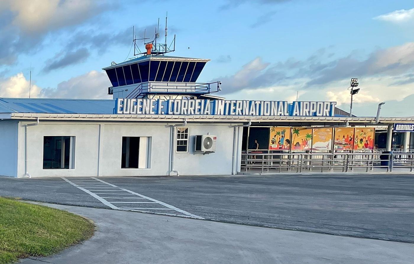
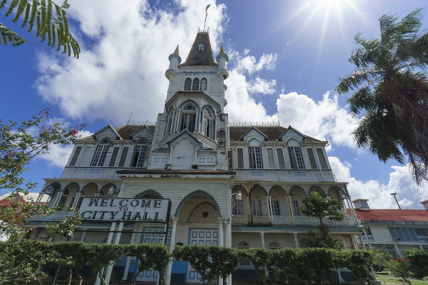
Georgetown is home to the CARICOM headquarters.
A short sail from Trinidad, Barbados and Suriname.
A natural doorway to northern Brazil.
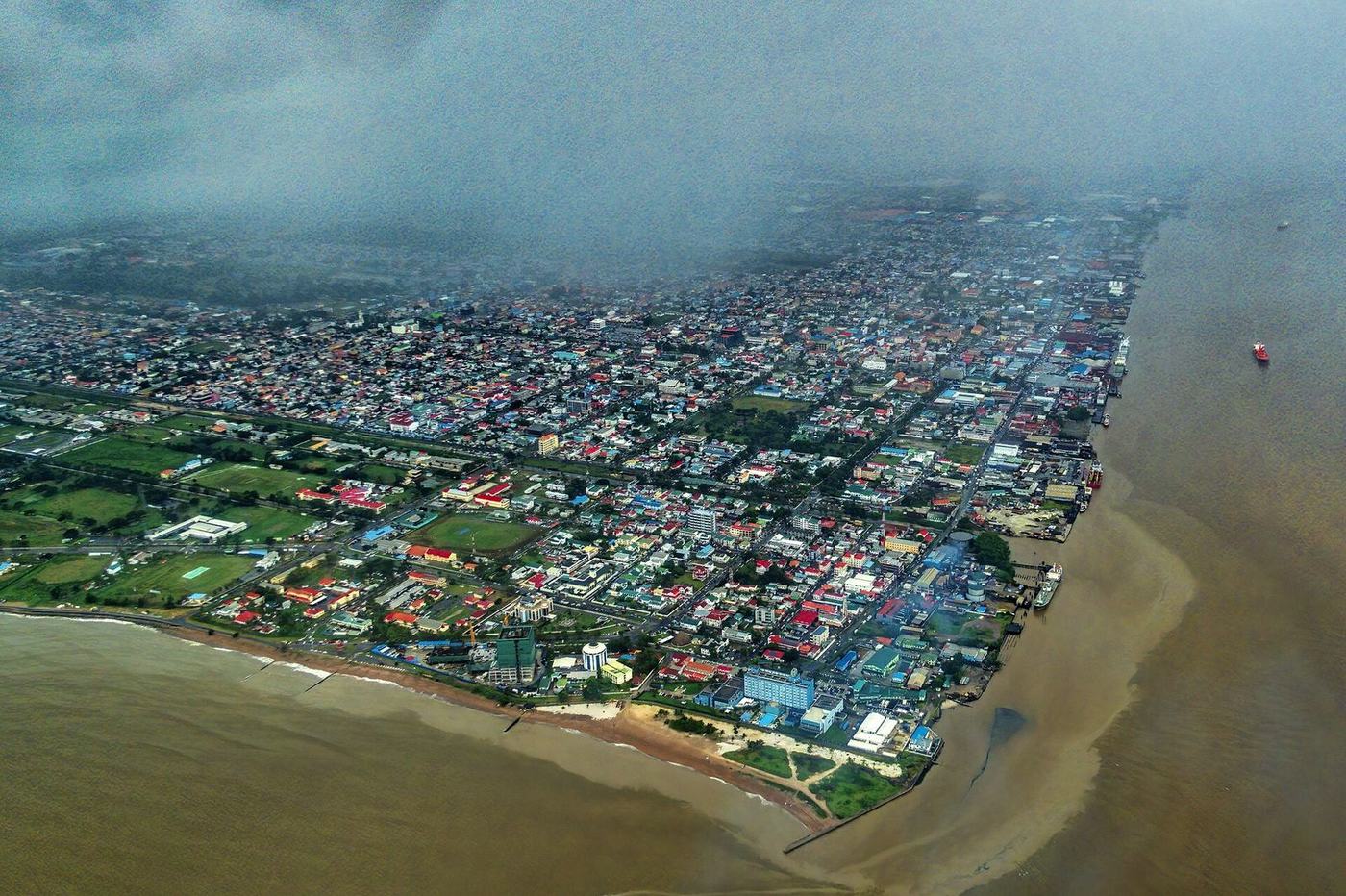
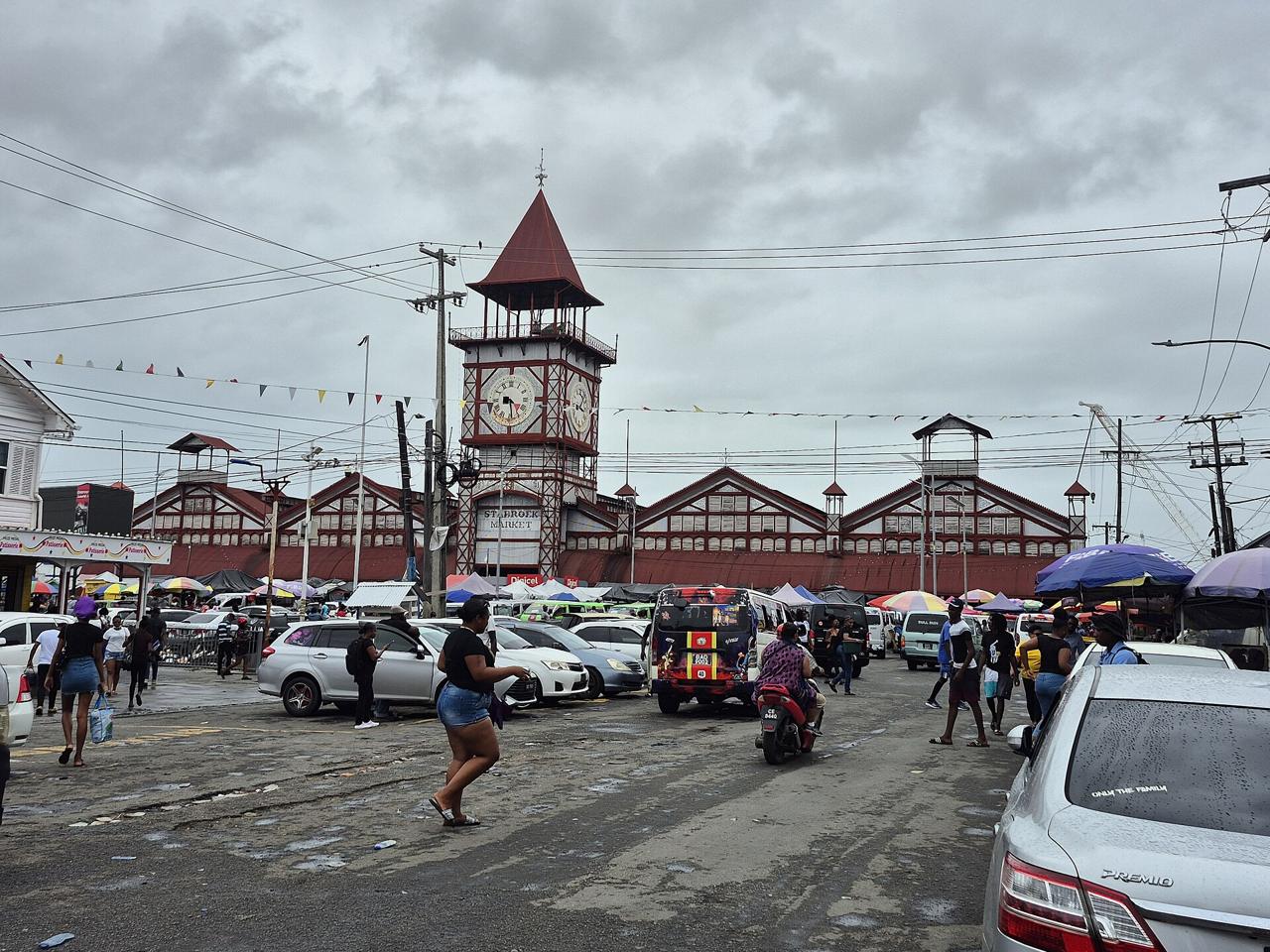
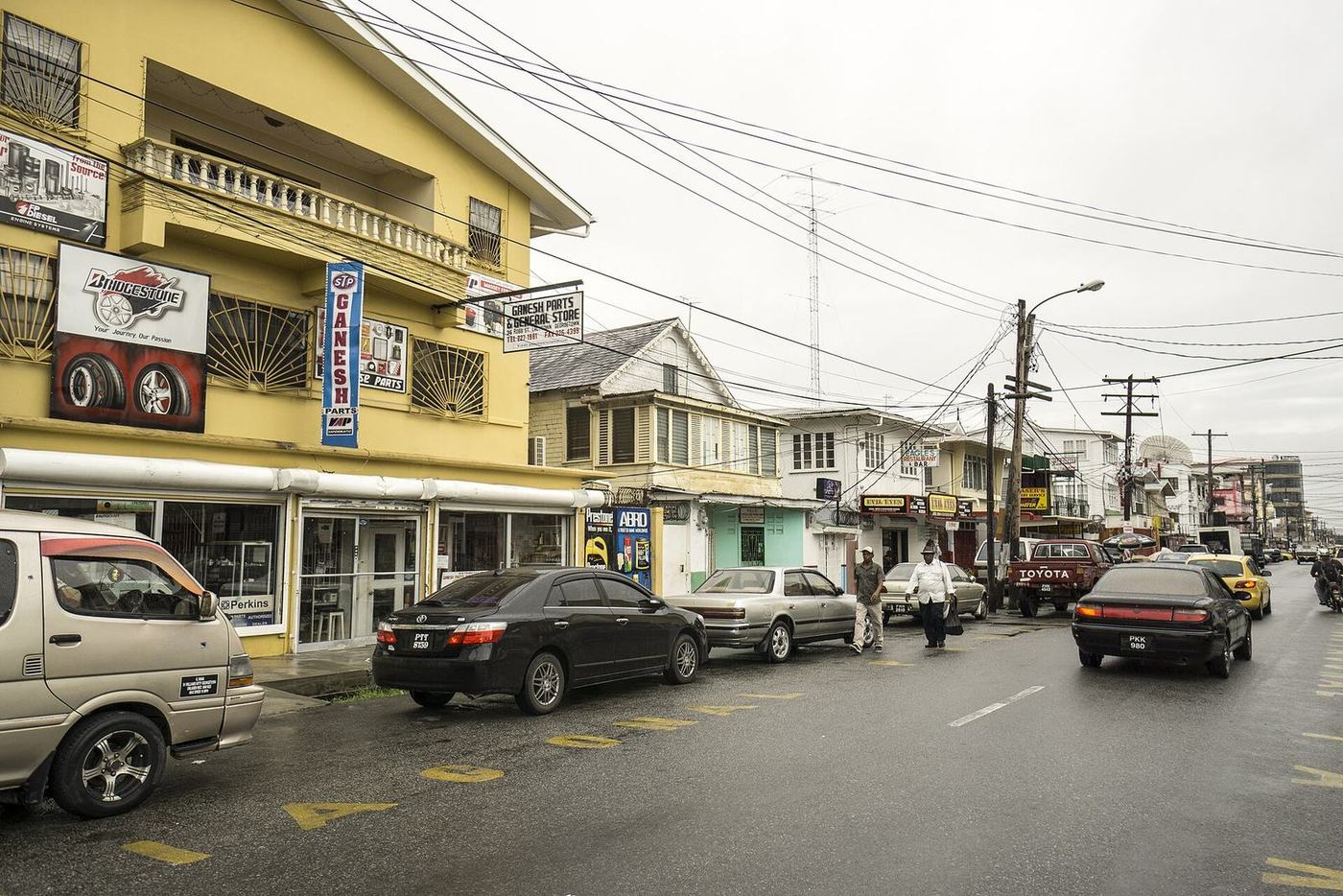
Georgetown, at the mouth of the Demerara River.
The moment
Oil was found offshore in 2015. Since then the economy has multiplied, and with it the need for ships, flights, trucks and warehouses.
Economy
Grew 43.8% in 2024 and 19.3% in 2025.
Oil
More than 900,000 barrels a day.
People
About one million, with a large diaspora in Canada, the United States and the United Kingdom.
Language
English, the language of world trade.
The lay of the land
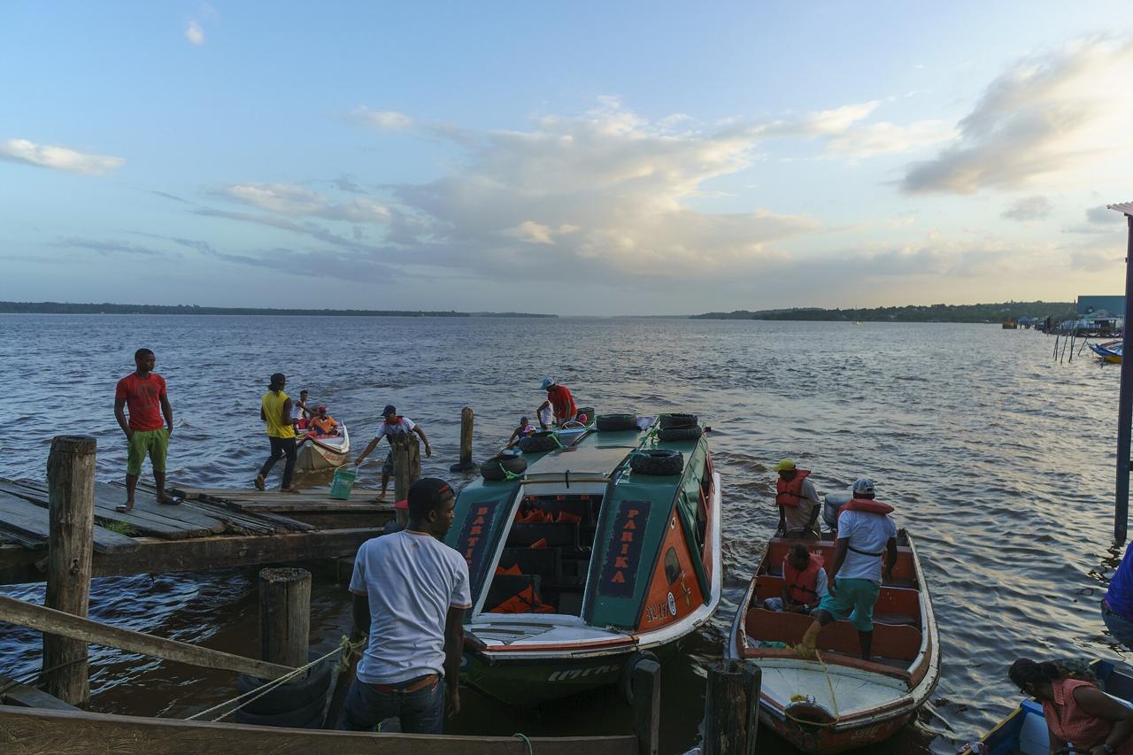
Almost everything enters through Georgetown. From there it moves along the coast, up the rivers and down the long road to Brazil.
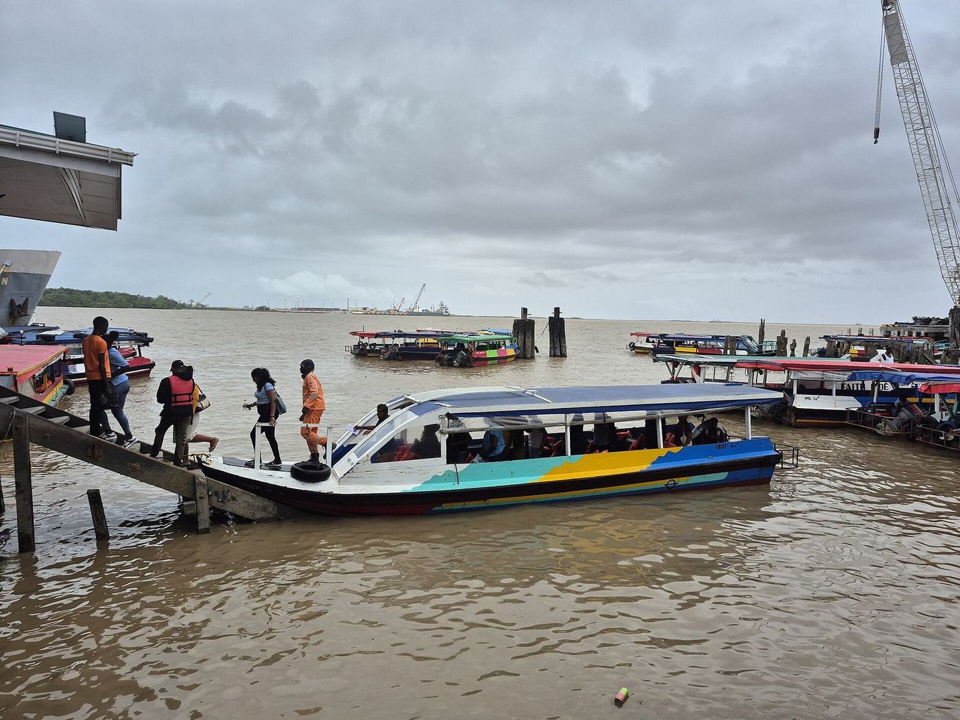
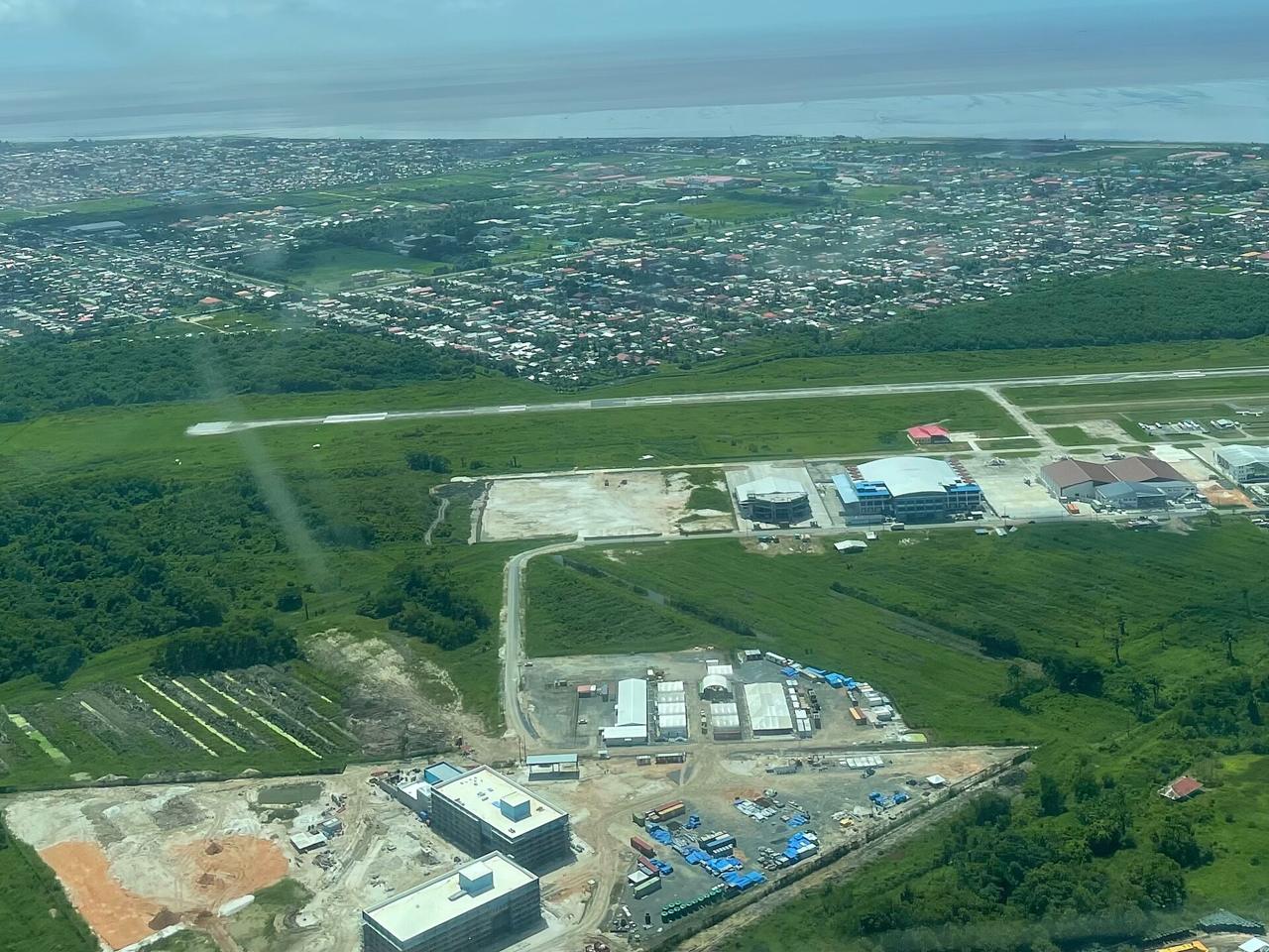
Georgetown The main port, on the Demerara River, and our base.
Offshore fields The oil is produced about 200 km out at sea.
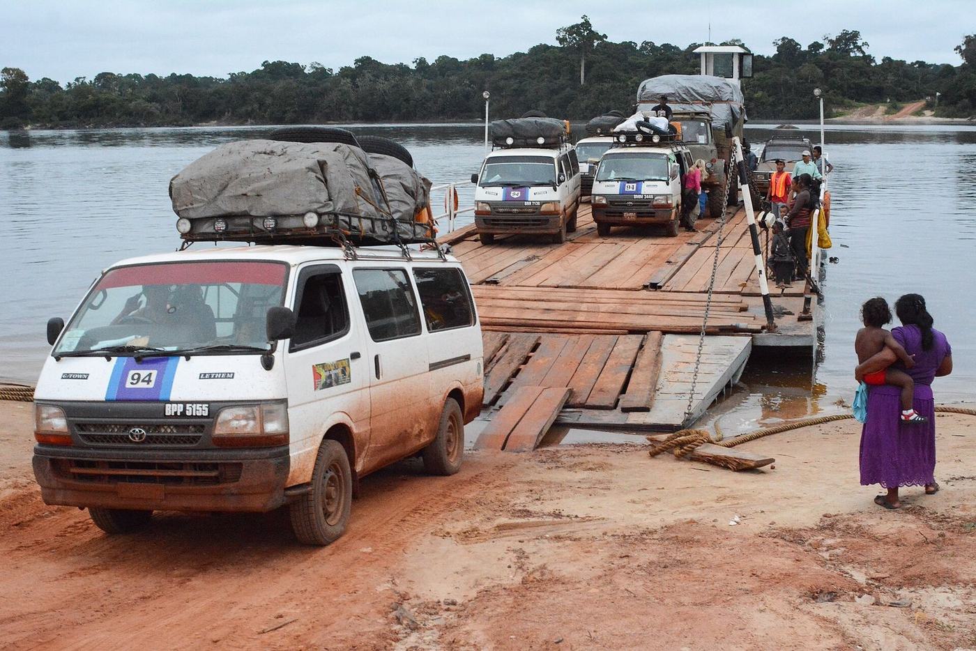
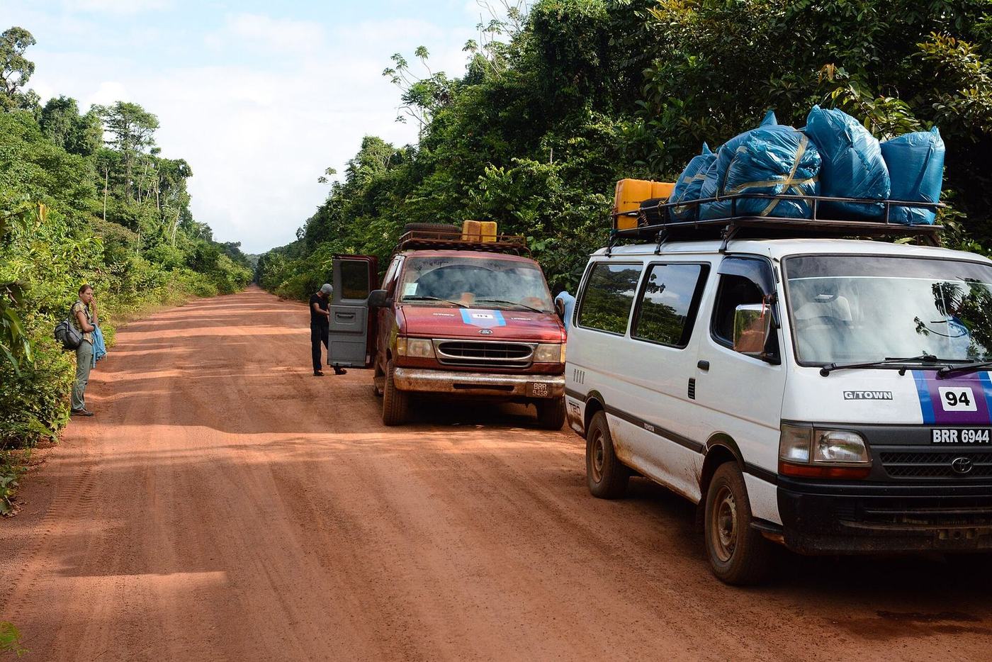
The road to Brazil About 450 km from Linden to the border at Lethem.
Berbice Where a deep-water port is being studied.
What is being built
Each one opens a new route for cargo.
2019 First oil. The offshore industry begins to need daily supply runs.
2022 The Local Content Act takes effect, reserving key services for Guyanese companies.
2025 A new high bridge opens across the Demerara River.
2026 A new port starts working on the West Bank of the Demerara.
Next A paved road to Brazil and a deep-water port in Berbice are on the way.
The floating Demerara Harbour Bridge (archive photo).
The pontoon at Kurupukari, on the road to Lethem.
Deep-water ports
Today the river channel at Georgetown is shallow, so the biggest ships cannot call. Much of Guyana's cargo changes ships at another Caribbean port first.
A deep-water port planned for Berbice would let large vessels sail straight in. It would also give northern Brazil a short road to the Atlantic.
Today
Ships of about 8 metres draught at Georgetown.
In study
A deep-water port in Berbice, with its engineering study due at the end of 2026.
Already open
A new port on the West Bank of the Demerara, working since 2026.
What it means
Bigger ships, lower freight costs and Guyana as a gateway for its neighbours.
Why it matters to us
GO Logistics has moved goods in Canada for 20 years. Guyana is where that experience meets a country building its future.
From Georgetown, the islands, Suriname and northern Brazil are all within reach.
Families and businesses in Toronto, New York and Miami already trade with Guyana every week.
We hire and train Guyanese. Our mission is to be a vehicle for prosperity for the people of Guyana.
Guyana in pictures

 Home
Book a meeting
Previous Energy
Next Industries